Tour 7 – Von Maulbach zum Hochthürmer

Beschreibung
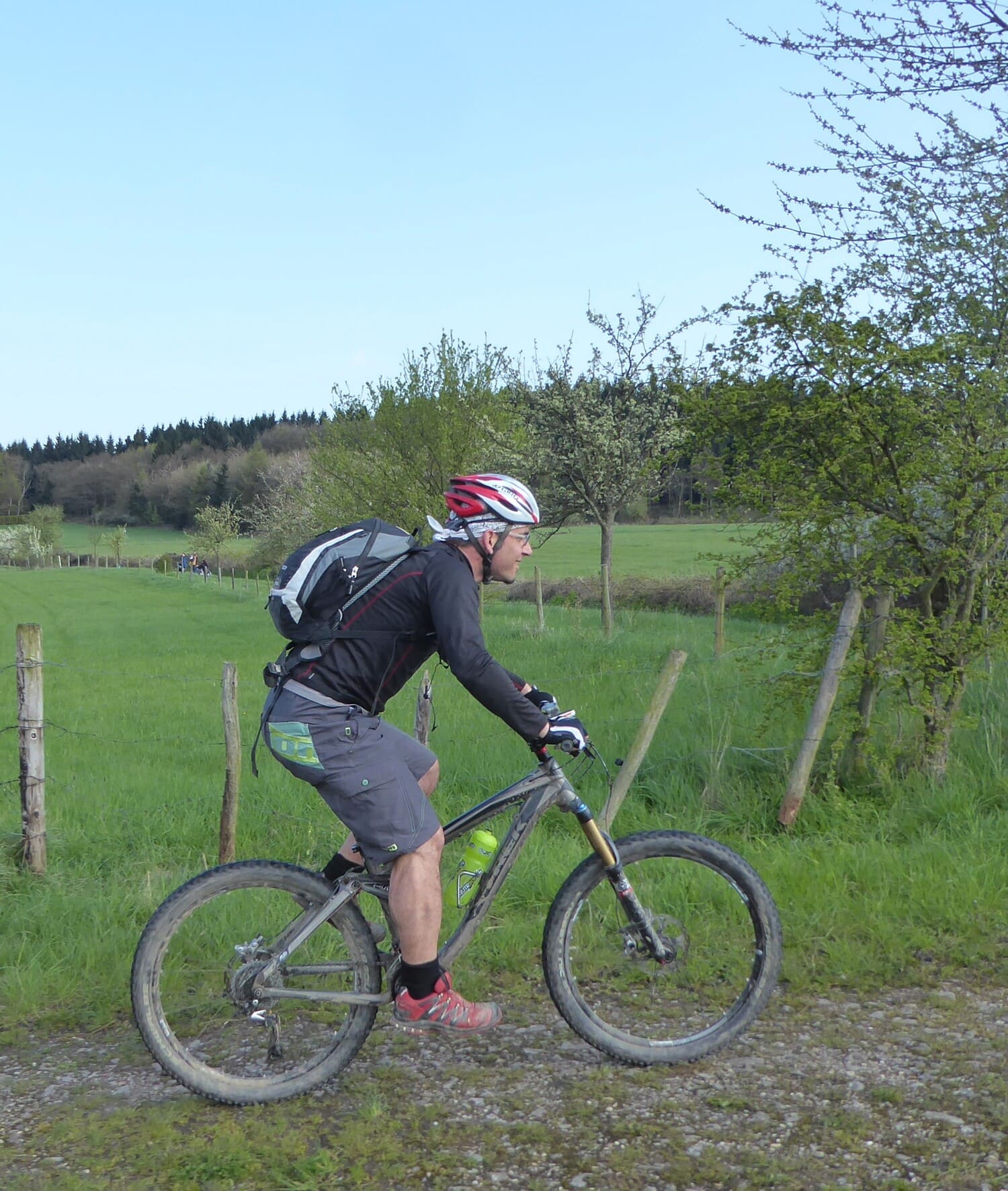
Wir starten diese Tour in dem kleinen, aber schönen Eifeldorf Maulbach. Nach einer kleinen Singletraileinlage im Wald, folgt man dem Houverather Bach in seinem idyllischen Tal. Kurz vor Lanzerath macht man einen kurzen Abstecher zu einer Rasthütte, auf einer Anhöhe, von der man die herrliche Eifellandschaft mit ihren sanften Hügeln betrachten kann. Der Biker setzt die Fahrt zum Hochthürmer fort und verlässt seinen Rundweg erst, um ins Sahrbachtal zu gelangen. Dort fährt man ein kurzes Stück auf der kleinen, ruhigen Eifelstraße und verlässt diese erst an dem Wanderparkplatz nahe der Houverather Mühle. Der nun folgende Singletrail schlängelt sich atemberaubend am Hang des Limbachtals gen Houverath hinauf. Jetzt biket man über Feldwege und am Waldrand entlang zurück ins Tal des Houverather Bachs. Der finale, knackige Anstieg bringt uns wieder in den Ausgangsort Maulbach.
Highlights
Der Hochthürmer
Der ehemalige Vulkan markiert als von weitem sichtbare, kegelförmige Erhebung die südöstliche Grenze des Stadtgebietes. Mit knapp 500 m erhebt er sich oberhalb des wunderschönen Sahrbachtals bei Kirchsahr. Relikte alter Wehranlagen sind steinerne Zeugen einer römischen Besiedlung.